Industry Applications
Mining and Quarrying Drones


Mining and quarrying drones, often referred to as UAVs (Unmanned Aerial Vehicles) or UAS (Unmanned Aircraft Systems), have become integral tools in the mining and quarrying industries. These drones are equipped with advanced sensors, cameras, and data processing capabilities to enhance efficiency, safety, and data accuracy in mining and quarrying operations. Mining and quarrying drones contribute to safer and more efficient operations in these industries by providing accurate data, reducing manual labor, and minimizing the environmental footprint. They are essential tools for optimizing resource utilization and ensuring compliance with environmental regulations.
Common Applications
Here are details about mining and quarrying drones and their common applications:
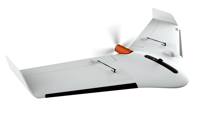
Delair UX11:
The Delair UX11 is a fixed-wing drone known for its endurance and precision.
Applications:
- Stockpile measurement: Accurately measure stockpile volumes of minerals and materials.
- Site mapping: Create high-resolution topographic maps and digital terrain models.
- Environmental monitoring: Monitor the impact of mining operations on the surrounding environment.
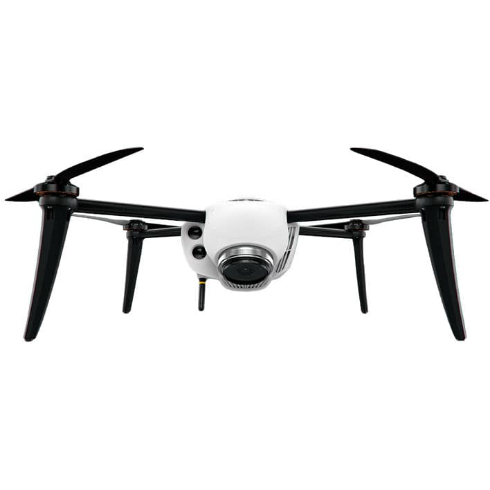
Kespry 2s:
The Kespry 2s is an industrial-grade drone designed for various applications, including mining.
Applications:
- Inventory management: Automate the process of tracking materials and inventory levels.
- Quarry management: Monitor quarry operations, evaluate blast patterns, and optimize resource utilization.
- Safety inspections: Conduct inspections of high walls, equipment, and infrastructure for safety compliance.
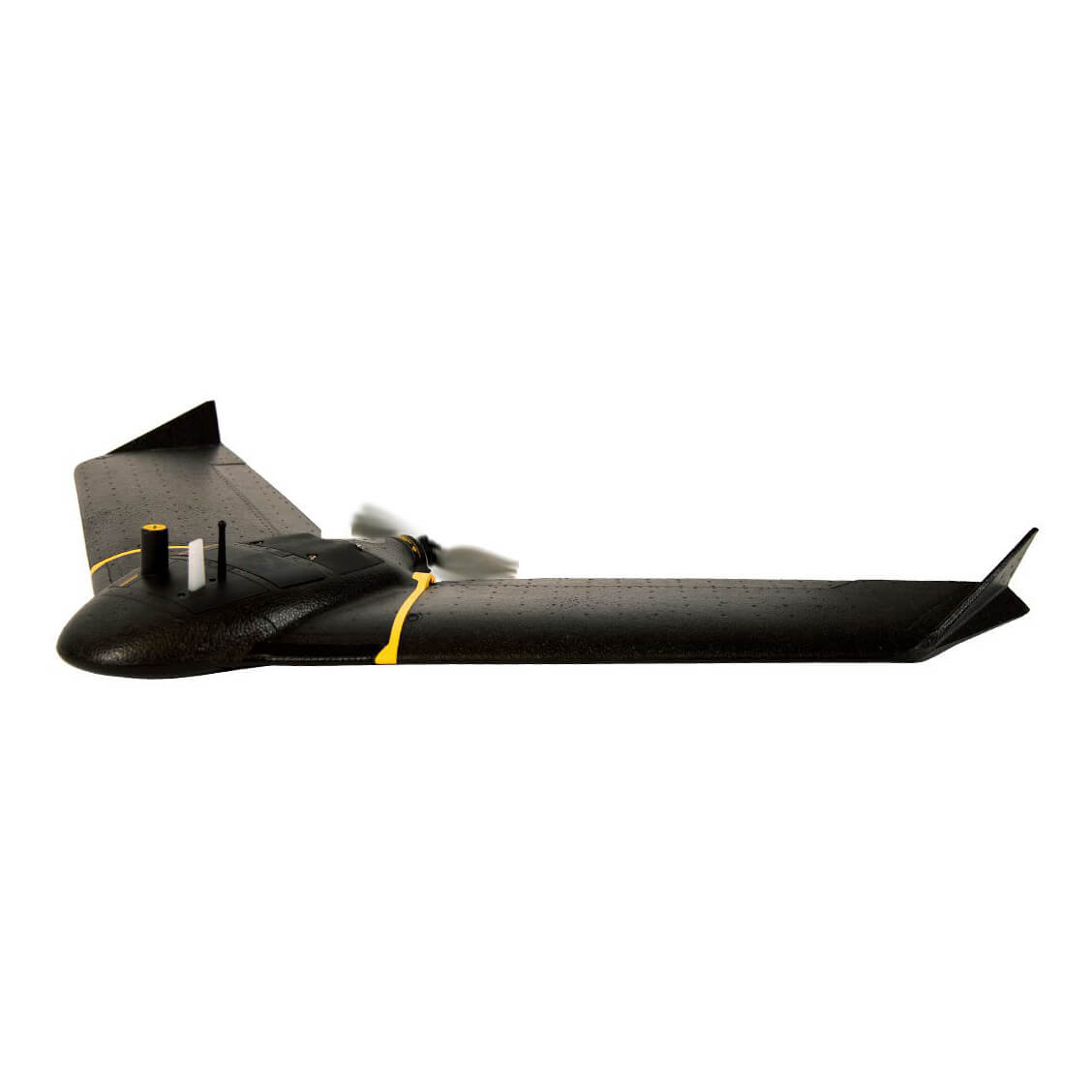
SenseFly eBee X RTK:
The senseFly eBee X RTK is a fixed-wing drone suitable for large-scale mining and quarrying operations.
Applications:
- Aerial surveying: Perform large-scale aerial surveys to collect data for mine planning and development.
- Volumetric analysis: Calculate stockpile volumes and assess the rate of material extraction.
- Reclamation planning: Plan and monitor land reclamation efforts following mining activities.
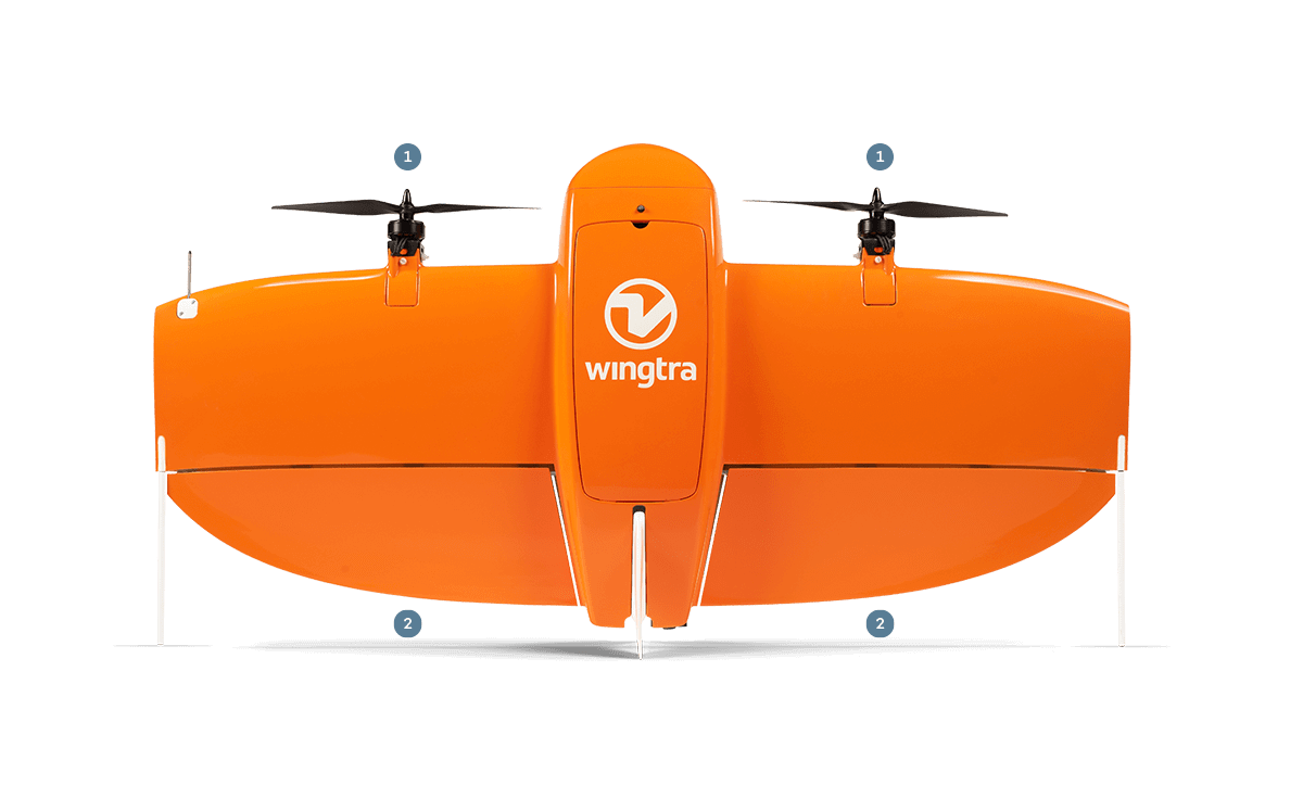
WingtraOne:
The WingtraOne is a fixed-wing drone with vertical takeoff and landing capabilities.
Applications:
- Survey-grade mapping: Produce high-precision, georeferenced maps and orthomosaics.
- Geological exploration: Assess geological formations and conduct mineral exploration.
- Infrastructure inspections: Inspect critical mining infrastructure, such as conveyors and processing facilities.
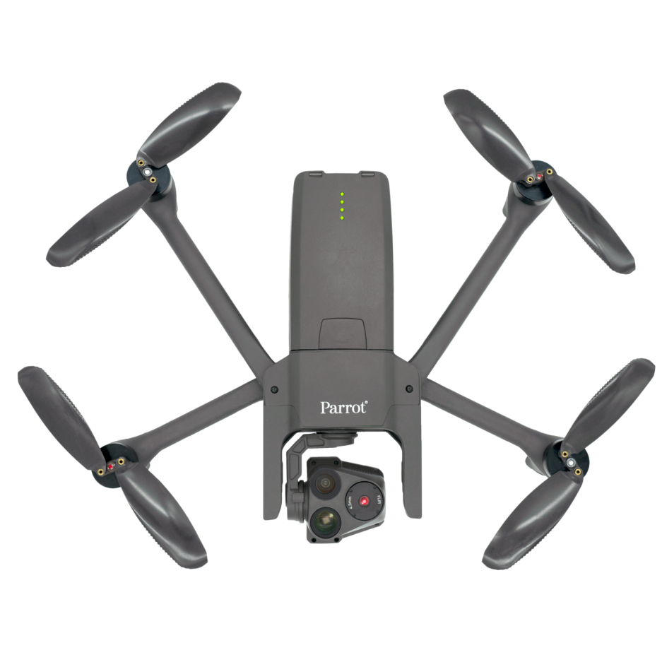
Parrot Anafi USA:
The Parrot Anafi USA is a versatile drone suitable for mining and quarrying applications.
Applications:
- Aerial inspections: Inspect high structures, equipment, and conveyors for maintenance needs.
- Site progress tracking: Monitor the progress of mining operations and infrastructure development.
- Safety assessments: Conduct safety assessments and hazard identification in mining areas.
Common Applications for Mining and Quarrying Drones:
- Stockpile Management: Drones accurately measure and monitor stockpile volumes, helping with inventory management.
- Blast Pattern Assessment: Drones assess the effectiveness of blasting patterns and help optimize the extraction process.
- Environmental Monitoring: Drones monitor the environmental impact of mining activities, including soil erosion and water quality.
- Safety Inspections: Drones inspect high walls, equipment, and infrastructure for safety compliance and hazard identification.
- Site Planning and Development: Aerial surveys and mapping assist in site planning, mine design, and development.
- Land Reclamation: Drones support land reclamation efforts by monitoring and assessing the progress of rehabilitation projects
