Industry Applications
Construction and Surveying Drones


Construction and surveying drones, also known as UAVs (Unmanned Aerial Vehicles) or UAS (Unmanned Aircraft Systems), have become essential tools in the construction and surveying industries. These drones are equipped with high-resolution cameras, LiDAR (Light Detection and Ranging) sensors, and other specialized equipment to collect data and provide valuable insights for construction projects and land surveys.
Common Applications
Here are details about construction and surveying drones and their common applications:

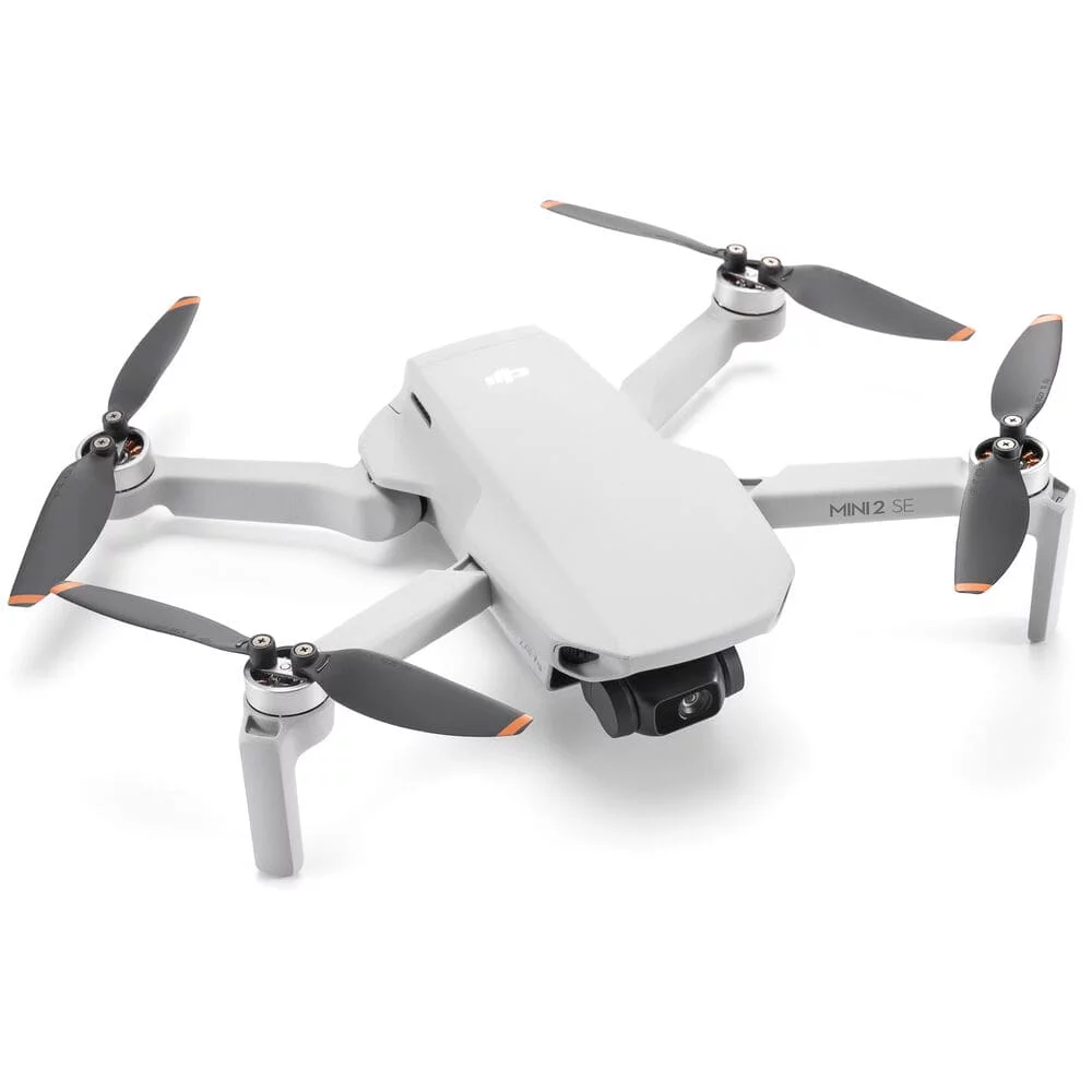
senseFly eBee X:
The senseFly eBee X RTK is a fixed-wing drone designed for surveying and mapping.
Applications:
- Topographic surveys: Collect elevation data for accurate terrain modeling.
- Aerial photogrammetry: Create detailed orthomosaics and digital surface models.
- Volume calculations: Calculate earthwork volumes for excavation and fill operations.
- Archaeological site mapping: Document archaeological sites with high-resolution aerial imagery.
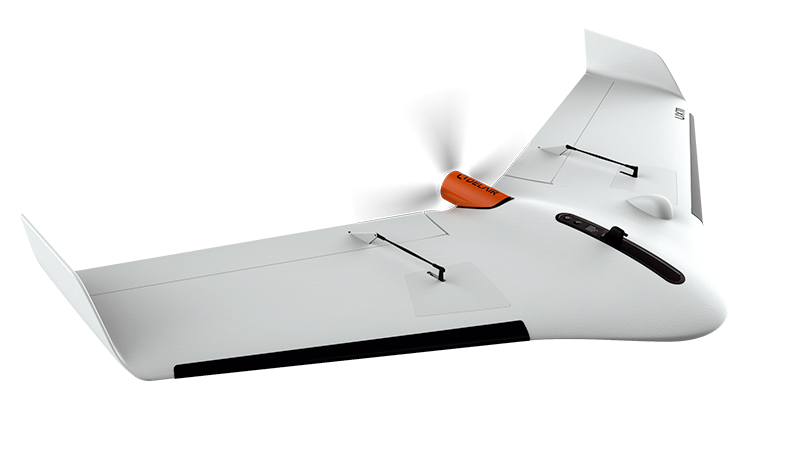
Delair UX11:
The Delair UX11 is a fixed-wing drone known for its endurance and precision.
Applications:
- Construction progress tracking: Monitor construction sites to ensure projects stay on schedule.
- Mining and quarrying: Assess stockpile volumes, track resource extraction, and plan mine operations.
- Infrastructure inspections: Inspect bridges, highways, and other critical infrastructure for maintenance needs.


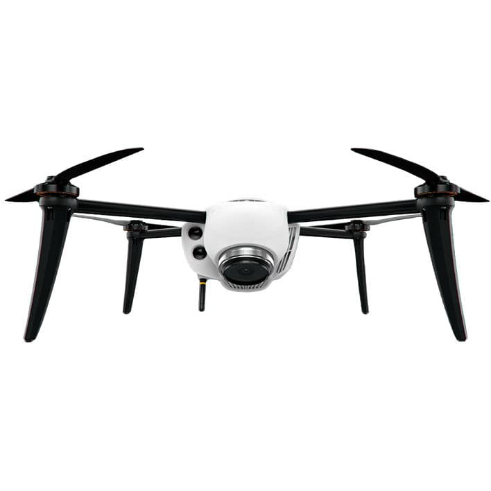
Kespry 2s:
The Kespry 2s is an industrial-grade drone designed for various applications.
Applications:
- Stockpile management: Measure and manage stockpile volumes accurately.
- Insurance assessments: Assess property damage and collect data for claims processing.
- Roof inspections: Inspect roofs for damage and provide detailed reports.
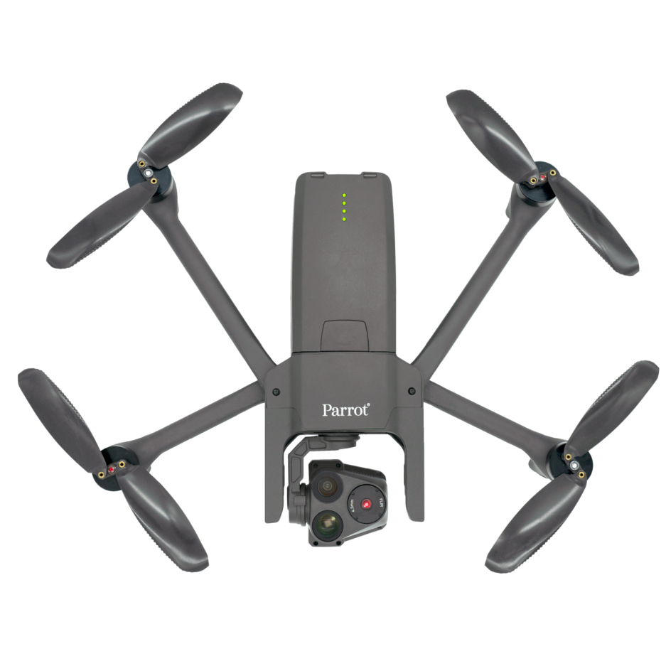
Parrot Anafi USA:
The Parrot Anafi USA is a compact drone designed for professional applications, including construction and surveying.
Applications:
- Aerial photography: Capture high-resolution images for site documentation.
- Real estate development: Create visualizations and marketing materials for real estate projects.
- Site safety monitoring: Monitor construction sites for safety compliance and hazards.

Common Applications for Construction and Surveying Drones:
- Site Planning and Design: Drones are used to collect data for site planning, design, and feasibility studies.
- Progress Monitoring: Regular aerial surveys help construction managers track project progress, identify delays, and make informed decisions.
- Topographic Mapping: Drones create accurate topographic maps and models, supporting site preparation and grading.
- Volume Calculations: Earthwork volume calculations help estimate the amount of material needed for construction and excavation.
- Asset and Infrastructure Inspection: Drones inspect critical infrastructure, such as bridges, roads, and buildings, for maintenance needs and structural integrity.
- Environmental Monitoring: Drones assess environmental impact and compliance with environmental regulations on construction sites.
- Construction and surveying drones significantly improve efficiency, accuracy, and safety in the construction and land surveying industries. They reduce the need for manual measurements and inspections, saving time and resources while providing valuable data for decision-making.
