Industry Applications
Environmental Monitoring Drones


Environmental monitoring drones, also known as UAVs (Unmanned Aerial Vehicles) or UAS (Unmanned Aircraft Systems), are valuable tools for assessing and managing environmental conditions, collecting data, and conducting research in various ecological and environmental applications. These drones are equipped with specialized sensors, cameras, and other equipment to gather data related to air quality, water quality, biodiversity, habitat health, and more. Environmental monitoring drones provide a non-invasive and efficient means of collecting valuable data for scientific research, conservation efforts, and environmental management. They contribute to better-informed decision-making and help protect and preserve natural ecosystems.
Common Applications
Here are details about environmental monitoring drones and their common applications:

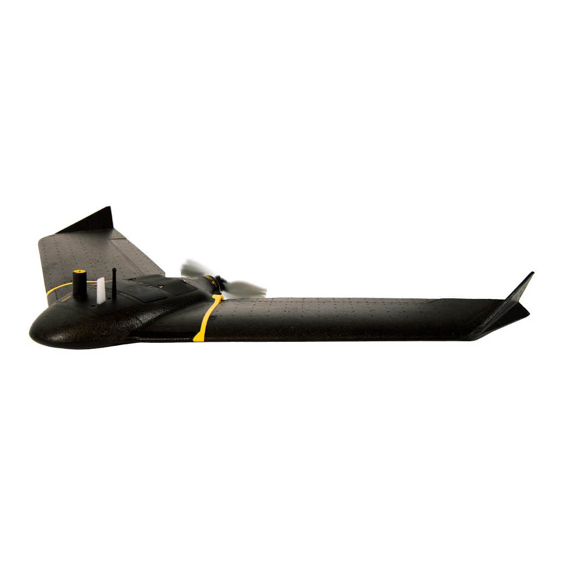
SenseFly eBee X:
The senseFly eBee X is a fixed-wing drone suitable for large-scale environmental assessments.
Applications:
- Biodiversity mapping: Conduct surveys to identify and track species diversity and population trends.
- Wetland monitoring: Assess wetland health, water levels, and changes in vegetation.
- Forest management: Monitor forest health, tree species, and signs of disease or pests.
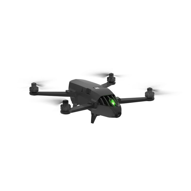
Parrot Bluegrass Fields:
Parrot’s Bluegrass Fields drone is designed for professional agricultural and environmental applications.
Applications:
- Vegetation analysis: Analyze plant health, biomass, and vegetation cover in natural and agricultural areas.
- Water quality assessment: Collect water samples and data to monitor water bodies for pollutants and algae blooms.
- Erosion control: Monitor soil erosion in critical areas and plan erosion control measures.


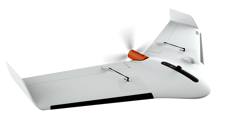
Delair UX11:
The Delair UX11 is a fixed-wing drone known for its endurance and precision.
Applications:
- Land use planning: Create detailed land use maps and assess land cover changes over time.
- Water resource management: Monitor water resources, reservoirs, and watersheds for conservation and management.
- Climate change research: Collect data on temperature, humidity, and other climate-related parameters.
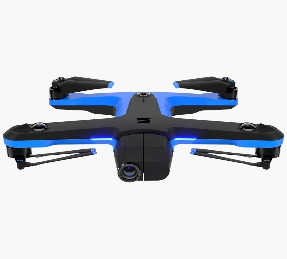
Skydio 2:
The Skydio 2 is praised for its advanced obstacle avoidance technology.
Applications:
- Aerial surveys: Conduct aerial surveys of environmental features, such as coastlines, forests, and wetlands.
- Emergency response: Deploy drones to assess environmental damage and natural disasters.

Common Applications for Environmental Monitoring Drones:
- Ecological Research: Drones assist researchers in studying ecosystems, wildlife behavior, and biodiversity.
- Air and Water Quality Monitoring: Collect real-time data on air and water quality, including pollutants, temperature, and pH levels.
- Habitat Assessment: Monitor changes in natural habitats, assess habitat health, and identify invasive species.
- Erosion and Land Change Detection: Detect signs of soil erosion, land degradation, and changes in land cover.
- Conservation and Preservation: Drones are used to support conservation efforts, protect endangered species, and preserve natural resources.
- Environmental Impact Assessment: Assess the environmental impact of construction projects, infrastructure development, and land use changes.
- Environmental monitoring drones provide a non-invasive and efficient means of collecting valuable data for scientific research, conservation efforts, and environmental management. They contribute to better-informed decision-making and help protect and preserve natural ecosystems.
